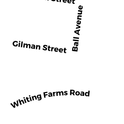
33 WHITING FARMS RD
Owner Information
HOLYOKE CITY OF
20 COMMERCIAL ST
HOLYOKE, MA 01040


Property Details
33 WHITING FARMS RD is classified as a Transportation Authority (Fire stat).
The primary structure on this property was built in 2002. There are 3,400ft2 of built area within this property. There is 3,400ft2 of residential/living space within this property.
33 WHITING FARMS RD is valued at $1,050,700. The land is valued at $43,300 and the structures are valued at $1,007,400.
This property is in Zone R-2. Confirm with local Zoning Board authorities to ensure there are no overlays or other easements on this property.
33 WHITING FARMS RD was last sold on Monday, February 12, 1962 for $0.
Assessment data from fiscal year 2022.
Flood Data
According to the FEMA National Flood Hazard Layer, this property does not appear to be in a flood zone. It may also be in an area not yet reviewed. Nonetheless, confirm this information prior to taking any action.
To view the flood hazards around this property, create a FEMA "Firmette" Map of the area around 33 WHITING FARMS RD.
Broadband Internet Providers
| Provider | Type | Bandwidth (mbps) | |
|---|---|---|---|
| PAETEC Communications, Inc | DSL | 0 | 0 |
| VSAT Systems, LLC. | Satellite | 2 | 1 |
| HughesNet | Satellite | 25 | 3 |
| GCI Communication Corp. | Satellite | 0 | 0 |
| CenturyLink | Fiber | 0 | 0 |
| Broadview Networks Holdings, Inc. | Copper Wire | 0 | 0 |
| Comcast | Cable | 1000 | 35 |
| City of Holyoke Gas & Electric Department | Fiber | 0 | 0 |
| Verizon New England Inc. | DSL | 10 | 1 |
| Viasat Inc | Satellite | 100 | 3 |
| MCI | Copper Wire | 0 | 0 |
| Crown Castle Fiber | Fiber | 0 | 0 |
Broadband service provider data from December 2020.
Adjacent Properties
- 0 WHITING FARMS RD
Vacant, Selectmen or City Council (Municipal) owned by HOLYOKE CITY OF - 52 GILMAN ST
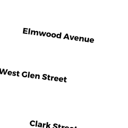
Single Family Residential owned by THURSTON TIFFANY S - 167 SOUTH MARTIN ST
Single Family Residential owned by LAVELLE CHARLES E - 0 WHITING FARMS RD
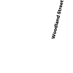
Vacant, Selectmen or City Council (Municipal) owned by HOLYOKE ECONOMIC DEVELOPMENT - 0 WOODLAND ST
Vacant, Selectmen or City Council (Municipal) owned by HOLYOKE CITY OF